2 sources checked · source map still forming · 7h ago
Needs Review
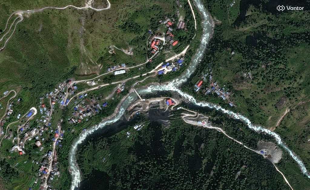
Satellite images show rivers flooded on Nepal-China border
KCRA3 Sacramento (Hearst) and South China Morning Post describe the same event in different terms.
0 Left2 Center0 Right
Needs review.This source map is too narrow, too early, or mixed-format to trust yet.
NEEDS REVIEW
As of August 30, 2026 at 8:30 AM, this is how Optics News reads the wording differences in this story.
What happenedEarth scientists are searching satellite imagery following catastrophic flooding along the Nepal-China border for clues to the cause.
The headline splitWDSU New Orleans (Hearst) frames it as "Satellite images show rivers flooded on Nepal-China border". South China Morning Post frames it as "Behind the Nepal-China border floods lie bad politics".
Match confidenceDeveloping. Only 2 sources are matched, and the source map is still narrow. Useful to watch, not enough to draw conclusions yet.
Same-event confidenceDeveloping
Not enough sources yet to confirm this is the same specific event.
Framing confidenceHidden
Wording-gap score not shown — same-event match is still developing.
Wording differs, but the match is too narrow to read confidently yet.
WHAT EACH SIDE EMPHASIZED
Left / center-leftNo matching source in this bucket yet.
Optics keeps watching for pickup.
CenterSatellite images show rivers flooded on Nepal-China border
WDSU New Orleans (Hearst) · Center · News report
Right / center-rightNo matching source in this bucket yet.
Behind the Nepal-China border floods lie bad politics
As the waters of the Bhotekoshi and Trishuli rivers recede, leaving behind mud, debris and damaged infrastructure, a familiar pattern is visible in Nepal. When disaster strikes, the country...